Cervest - Climate Intelligence Platform # Duration: June 2021 - June 2023 Location: Berlin, Germany
Why This Matters # Flood risk is one of the most financially significant climate hazards, yet most available flood data is either too coarse for asset-level decisions or too expensive to produce at global scale. This project tackled that gap — delivering a high-resolution, multi-scenario flood risk dataset that enables insurers, asset managers, and governments to quantify flood exposure anywhere on Earth.
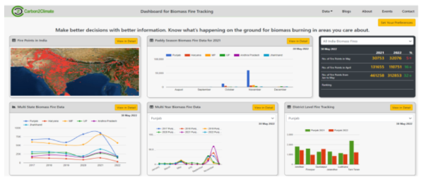
Solve for Good × Energy Harvest Charitable Trust # Programme: Solve for Good NGO Partner: Energy Harvest Charitable Trust, Punjab, India Academic Partners: Carnegie Mellon University · University of Southampton Industry Partner: Google Repository: ProdigyNumbers/energy_harvest_trust
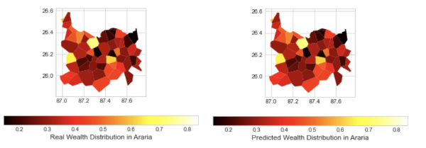
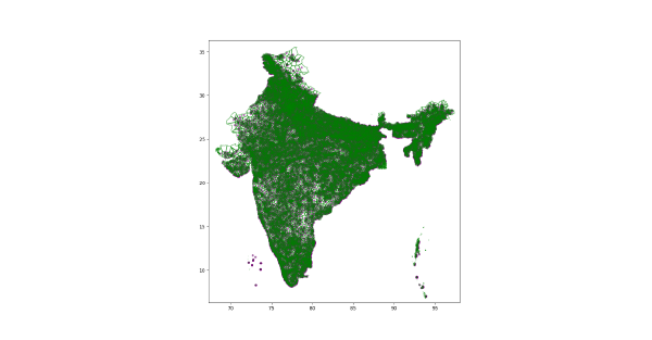
Solve for Good × World Resources Institute # Programme: Data Science for Social Good (DSSG) fellowship Partner: World Resources Institute (WRI) Repository: dssg/solveforgood-wri
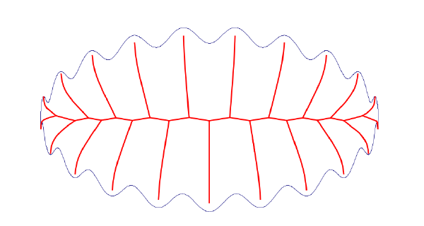
gis-laguerre # Type: Open-source library + technical writing License: Apache 2.0 Repository: dai-mo/gis-laguerre Article: Towards Data Science, 2021
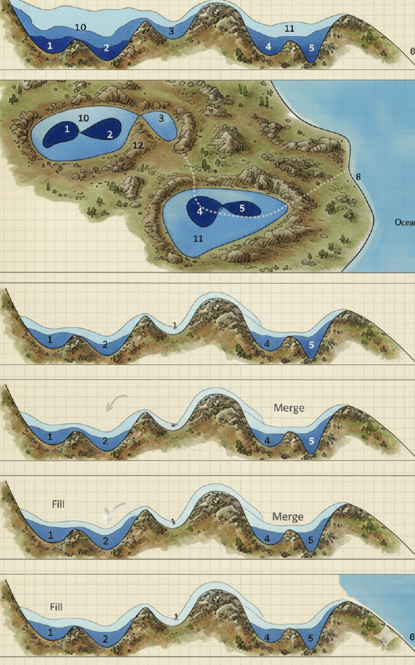
Overview # gis-laguerre is a Python library implementing Laguerre-Voronoi diagrams (also known as weighted Voronoi or Power diagrams) for geospatial applications. It was developed to solve a concrete data preparation problem in the Solve for Good / WRI project, then packaged and documented for broader use.
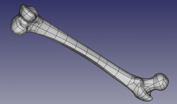
Mesh2NURBS # Presented: Group Meeting, Zuse Institute Berlin, February 2016 Collaborators: T. Amiranashvili, M. Bindernagel, H. Lamecker, H. Ramm Institutions: Zuse Institute Berlin (ZIB) — Computational Medicine Group · 1000 Shapes (ZIB spin-off)
ACS — Algorithms for Complex Shapes # Report: ACS Technical Report No. ACS-TR-36-26-02 Authors: Sunayana Ghosh · Gert Vegter Institution: University of Groningen (RUG) Project: ACS — Algorithms for Complex Shapes with Certified Numerics and Topology, funded by the European Commission FP6 (2002–2006) Full paper: ResearchGate